
Turnpikes
 Returning from Epsom Races – Trouble at the Turnpike
Source not known
These days we often hear about the appalling state of the roads in Surrey, supposedly the worst in the country, but think what things were like in the 17th century.
Initially the majority of people lived a rural, agricultural life in small villages and towns, used locally produced food and goods and rarely travelled out of their immediate area. The common folk had no option but to walk, farmers, merchants and carriers would have used horse drawn carts, a pack horse or a pony and trap but it was only the rich who had ready access to horses for riding and carriages. The roads they travelled were in the main narrow country lanes simply made of compacted soil and local stone which in bad weather would quickly turn into deeply rutted and puddle filled muddy tracks.
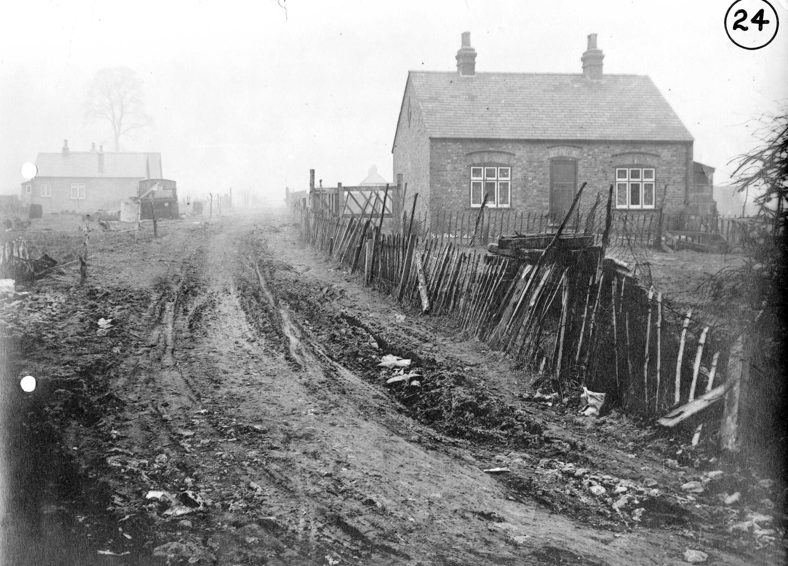 A 1920s photograph of ill-made roads in the Cox Lane area.
Image courtesy of Bourne Hall Museum
From the start of the 1555 Highways Act each parish was responsible for the upkeep of roads in their area. The Act meant that each year two people were appointed as unpaid Waywarden or Surveyors of Highways to inspect the local highways and bridges. It also compelled landowners and others to provide labour (sometimes called Statutory Labour) , tools and carts for a few days each year to repair the local roads. However the Act failed to provide any national co-ordination or specify the standards to be achieved so repairs were often poor patchy. Travellers could often tell parish boundaries just by the change in the road surface.
Quarter Sessions at Reigate, 25 April 1661
The Inhabitants of Ewell, 1 March 1661, have forcibly and unlawfully
ploughed up and spoiled the common highway leading from Ewell to Reigate, to the
grave nuisance of the king’s liege people riding along the said highway, in evil
example and against the peace.
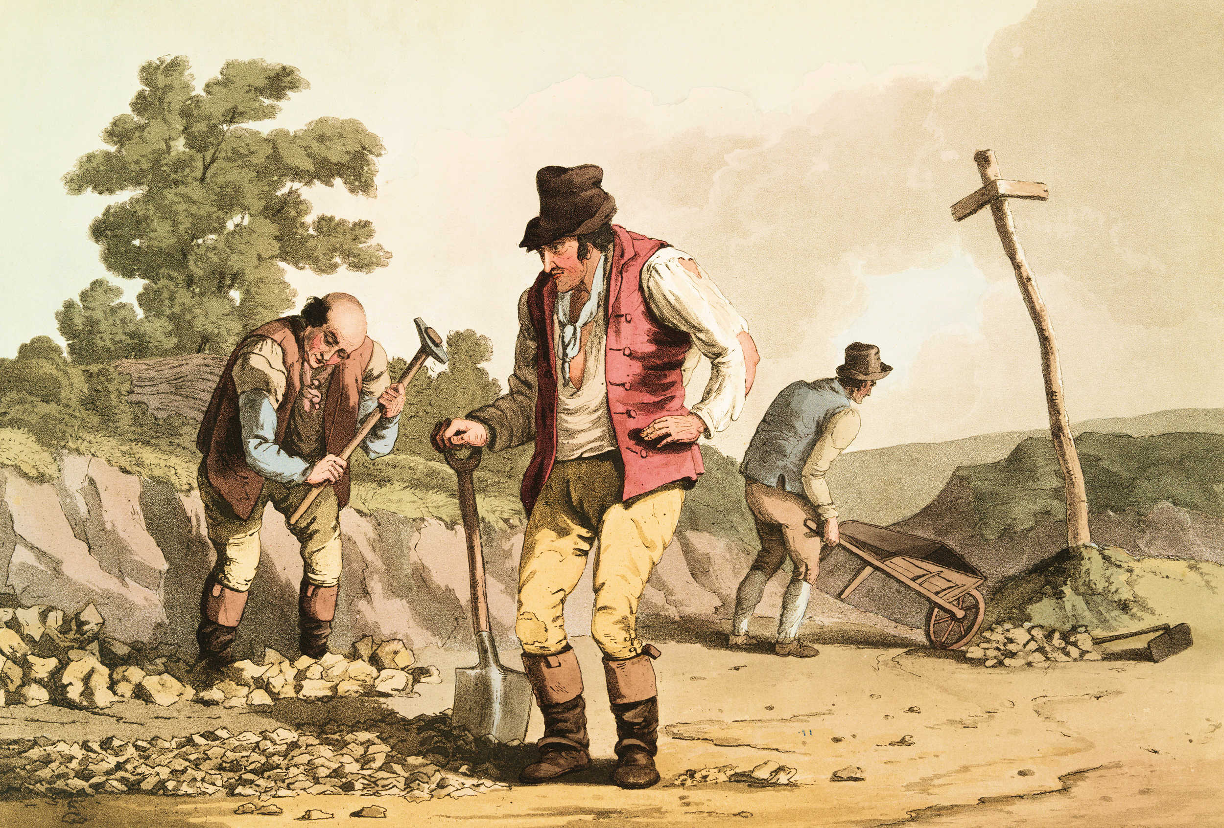 Stonebreakers on a road.
Image Source: The costume of Yorkshire
This hit and miss system of local control was usually skewed in favour of the roads of most use to local farmers and landowners but it just about worked for parishes off the main road network. However it placed a heavy burden on the parishes with high traffic routes such as those to and from London, the ports etc.
By the 17th century trade between towns and ports had increased considerably with more heavy wheeled vehicles replacing pack mules and horses and the leisured classes using more carriages. This extra traffic caused havoc with the roads.
From the middle to late 1600s some landowners applied for and got permission, initially from local justices but later an Act of Parliament was used to set up Turnpike Trusts to take over the responsibility for maintaining a few miles of main roads. The trusts were allowed to raise the necessary capital for repairs and ongoing maintenance against the expectation of the income from the tolls the turnpikes levied on road users.
Each turnpike trust would have gates, often with spikes (or pikes) on the top edge, at various points on the route, each with a gate or toll-keeper to collect the money from the road users. These toll collectors would often be provided with a small house so they could collect tolls 24 hours a day. The toll houses were usually placed at cross roads and had windows overlooking the gate and in all directions along the roads so many were round in shape or had many sides.
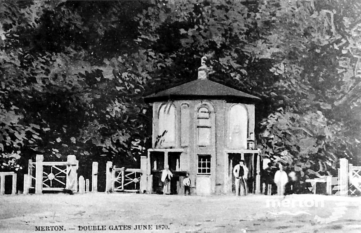 A postcard view of the Merton Double Turnpike Gate on the Epsom, Ewell to Tooting Turnpike
In 1755 three separate turnpike trusts were set up that covered the roads in Epsom & Ewell:
Epsom, Ewell to Tooting
From Epsom, through Ewell, to Tooting. Also from Ewell to Kingston upon Thames, and Thames Ditton.
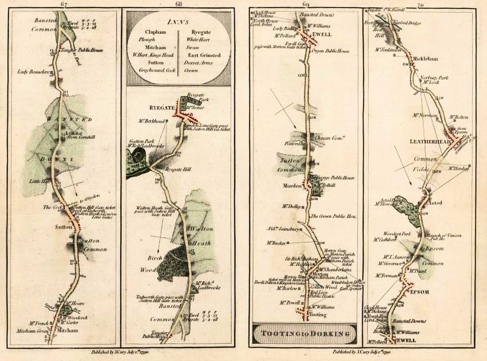 A strip map showing the route from Tooting, through Ewell to Dorking by Cary 1790
Click image to enlarge
Click here to open a version of Cary’s Survey of High Roads from London
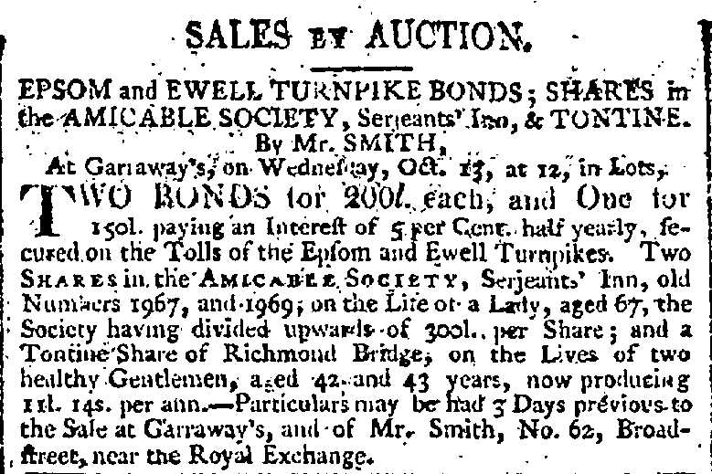 An advert in The Times 09 Oct 1802
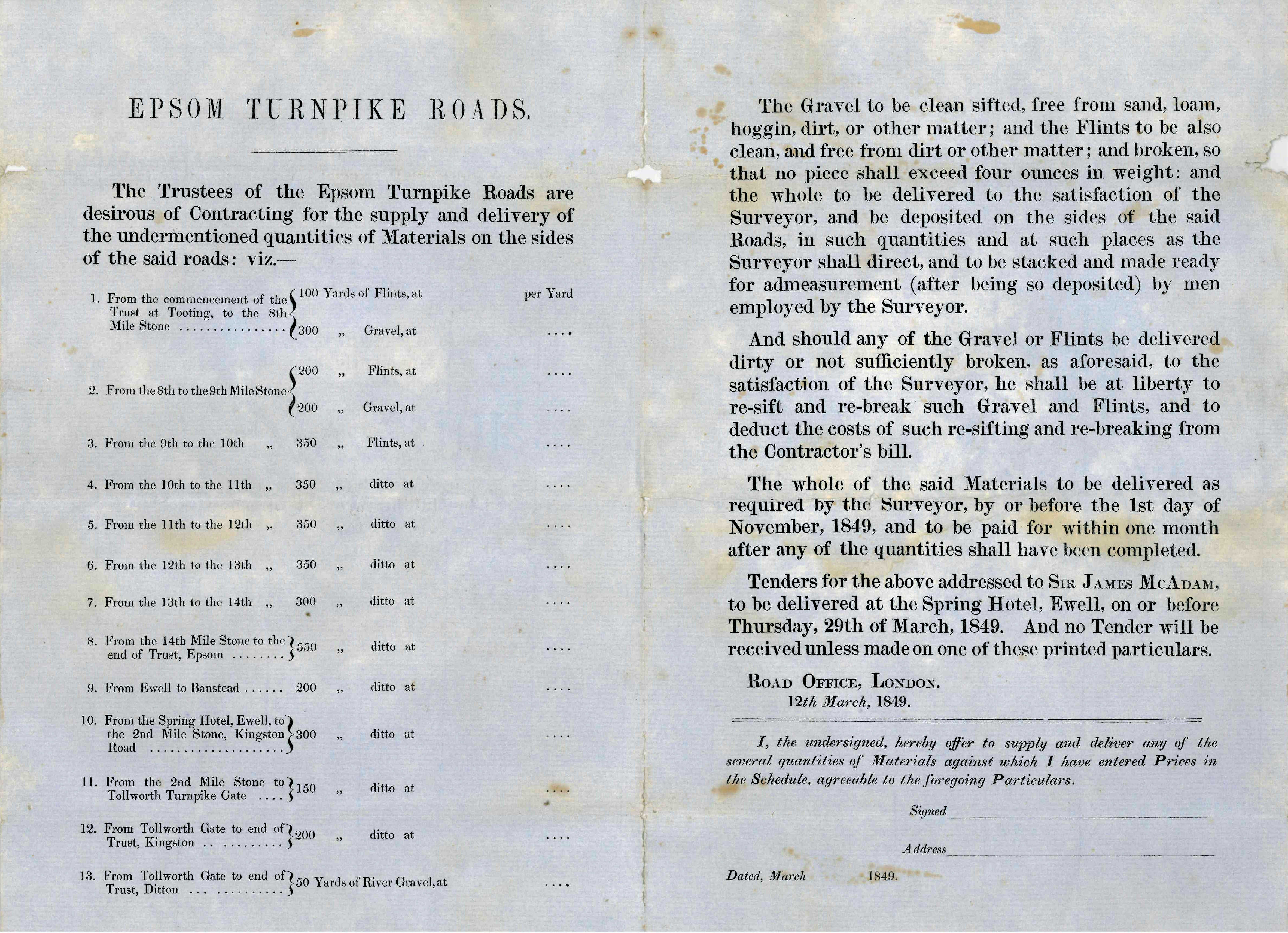 A form for tendering for the supply of gravel and flint dated 1849
Note the return address: James McAdam, Srring Hotel, Ewell
Click image to enlarge
Image courtesy of Bourne Hall Museum
Reigate
From Reigate, by Sidlow Mill, to Povey Cross, and from Sutton through Cheam, and over Howell Hill to Ewell. Also the Road from Tadworth, by the Wind Mill, to the Bottom of Pebble Hill.
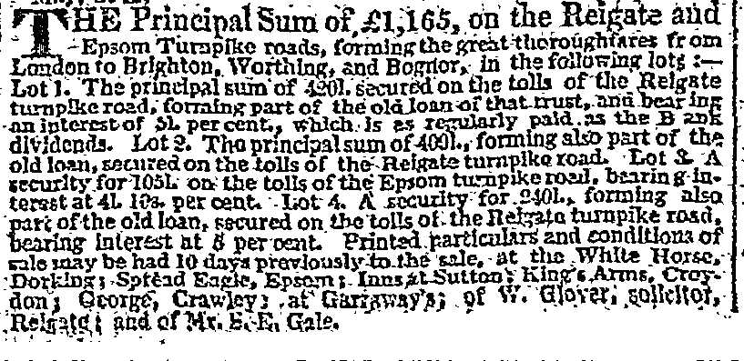 An Advert in The Times 10 May 1826
Horsham to Dorking
 The toll gate at Giles Green on the Dorking Turnpike.
Image courtesy of Dorking Museum
Horsham in the County of Sussex through Dorking and Leatherhead to Epsom, and from Capel to Stone Street at Ockley. From Horsham, Sussex through Dorking and Leatherhead to Epsom. Also from Capel to Stone Street at Ockley
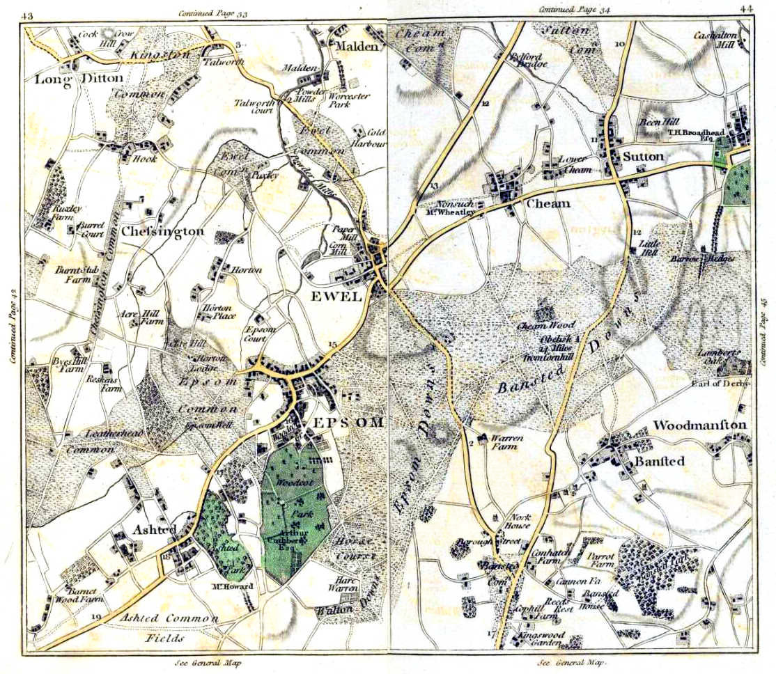 This composite map by Cary in 1786 shows the major roads crossing our area.
Click image to enlarge.
Over the next few decades the number of turnpikes created nationally increased dramatically and the state of the main road network was much improved. The height of the turnpike system was probably in the 1820s and 1830s just before the railway era.
 Extract from a map showing Turnpikes, Toll booths etc for six miles around Charing Cross
The dotted lines and initial letters show the Postal Districts,
the black spots denote the situation of the toll-bars;
in addition, there are upwards of 100 sidebars,
within a radius of six miles of Charing Cross, which are not marked.
Map source: Illustrated London News 06 June 1857
Decline of the Turnpikes
Railways had a dramatic effect on trade and travel. Goods could be sent much quicker and further by rail than road so perishable items could be sent to distant towns and cities. Also stations and goods yards were not always well served by the existing turnpikes. The outcome was greatly reduced turnpike revenue leading to poorer road maintenance. So from around the 1850s the unprofitable turnpike trusts decided not to renew the Acts of Parliament that let them charge tolls for a set period, usually 21 years. Turnpikes were finally abolished in 1895.
The Road Improvers
At the start of the Turnpike system there were several notable road builders/engineers:
John Metcalf (1717–1810) , who incidentally was blind by the age of 6, recognised the importance of good road foundations and that the surface should be slightly domed to allow water to quickly drain away.
 John Metcalf Aged 78
Thomas Telford (1757 – 1834) build roads with very solid foundations with tall (roughly 9inch or 23cm long) tightly-packed stones at the base which were covered by about 6in (15cm) of broken stone topped by a convex layer of gravel/small stones. At roughly every 100yds (91m) intervals he placed culverts under and across the road to assist with drainage. Telford’s roads were very well made but very expensive.
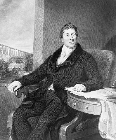 Engraved portrait of Thomas Telford
Image source: Atlas to the Life of Thomas Telford
John Loudon McAdam (1756-1836) had a more cost effective approach. Using as much material as possible from the existing road he built roads using an approximately 8 inches (20cm) deep layer of stones and rocks that had been broken down to no more than 2 inches (5cm) on a firm base of larger stones. All this was topped by a convex layer of gravel/small stones less than 1in (2.5cm) in size . The size was tested with a rule of thumb – a stone would have to fit in the mouth of the person crushing the rocks McAdam roads were considerably cheaper to build and quicker to lay than Telford’s partly because he recycled old stone and because the top surface did not need rolling as normal road traffic quickly tamped it down to lock the various layers together. It was several years after John’s death that tar or bitumen was first sprayed on to roads made using his system thus giving us the term tar-macadam or tarmac.
 John Loudon McAdam 1830
One of John McAdam’s sons James Nichol McAdam was appointed surveyor to the Epsom, Ewell – Tooting Turnpike Trust at the suggestion of his busy father.
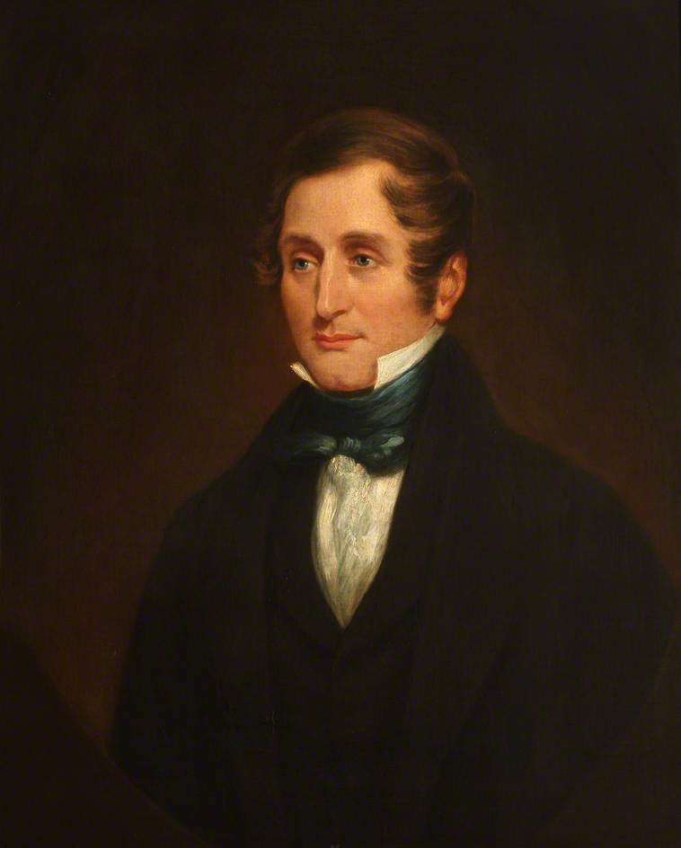
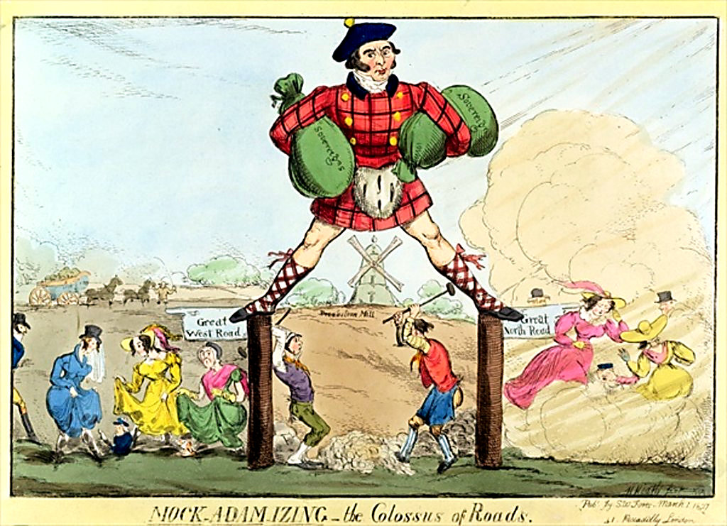 James Nichol McAdam depicted in a cartoon – The Colossus of Roads
Peter Reed 2021
For further information on the roads in our area see
- Pownall (starting near the bottom of original page 52 [.pdf version page 30]) also
- The Board of Health report (starting on .pdf page 24)
- The Ewell Vestry Minutes (search for Turnpike or road)