Nohome Farm
Strictly speaking Nohome Farm is just out of our catchment area but being on Epsom Downs it is frequently mistaken to be part of our borough. So we are most grateful to Robert Ruddell for permission to use this article that first appeared in the February 2021 Newsletter of the Walton-on-the-Hill and District Local History Society.
The WALTON-ON-THE-HILL PARISH MAP
and Nohome Farm or is it Noholme Farm?
By Robert Ruddell
When ever I visit St Peter’s Church in the village I admire the delightful Parish Map of Walton-on-the-Hill, hanging in the inside vestibule and reminding one of the fascinating history of our village and parish.
The pictorial map was drawn and beautifully painted in October 1992 by Mrs. Betty Eldridge and presented to St Peter’s Church in 1994 by the Walton-on-the-Hill & District Local History Society to be displayed there permanently.
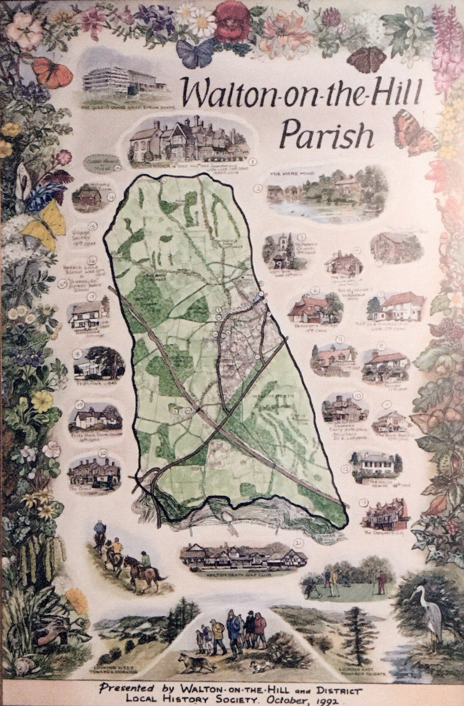
I understand that Ken Whitcombe the then Hon Secretary of the Society developed the idea of a Walton map after seeing a similar one of Fetcham. The map embraces 21 places of interest starting with Walton Manor and finishing with Walton Heath Golf Club.
Betty also showed the Queens Stand on Epsom Downs and depicted our notable heron, golfers, ramblers and horse riders and finally at the bottom Looking East Towards Reigate and Looking West Towards Dorking.
The Queens Stand on the Downs was completed for Her Majesty’s visit to the 1992 Derby on Wednesday 3rd June won by Dr Devious.
On Betty’s map and numbered 14 is locally listed Nohome Farm [flint m. 19.] The farmhouse dates from c.1840 and is on the route of the old packhorse track from Kingston to Buckland and adjoins what was the medieval ‘Common Fields’ of Walton.

Henry Padwick the Lord of The Manor of Walton-On-The-Hill in 1888 sold 205 acres of boldly undulating land including the famous galloping or training ground for flat races distinguished as Six Mile Hill and a proportion of the Derby Racecourse adjacent to far – framed Tattenham Corner. It saved the Epsom Grandstand Association a rent of £1,000 a year but cost them £20,000.
In 1925 Mr. Stanley Wootton purchased the gallops of Six Mile Hill for £35,000 – some 188 acres and administered the training gallops as a commercial undertaking. In April 1969 he offered the 206 acres of Walton Downs to the Levy Board on lease for 999 years at a peppercorn rent if demanded.
Nohome Farm is located on the other side of the track leading from Langley Vale Road to Epsom Lane North. It is opposite the Six Mile Hill part of Walton Downs and borders Langley Vale Centenary Wood, England’s First World War Centenary Wood commemorating the end of the First World War. It is the largest of the four centenary woods located in the United Kingdom.
In March 2014 the Woodland Trust purchased Langley Bottom Farm, covering 640 acres where 200,000 native trees are to be planted as a legacy to those who served in the war. The Centenary Wood has pockets of ancient woodland, diverse and fascinating wildlife and flora, and stunning views over the rolling fields of Epsom Downs. It has direct links to the First World War as it was used for gas training and general officer training during the war.
Many people who recently walked the 2.5 mile self guided ‘Month of Remembrance Trail’ would have discovered the fascinating facts about how the area played an important part in the troops preparation for battle. They would also have been poignantly reminded when seeing the 12 life-size stone sculptures and special plaque at the Regiment of Trees, and the interpretation boards in Cherry Avenue where a local hero from Walton-on-the-Hill, 28 year old John Robert Somers-Smith MC killed on the first day of the Battle of the Somme is mentioned.

The field bordering Nohome Farm is named Nohome Field, and the first 10,000 trees were planted there in December 2014. The two cottages, which were known as Nohome Farm, came to the market in 1968, when Stanley Wotton’s Estate was broken up and they were converted into one cottage in the early 1990’s.
The current owner who moved there in 1996 has confirmed that the house over the years has had many aliases from Noholme Cottages, Nohome Farm to Nohome Cottage.
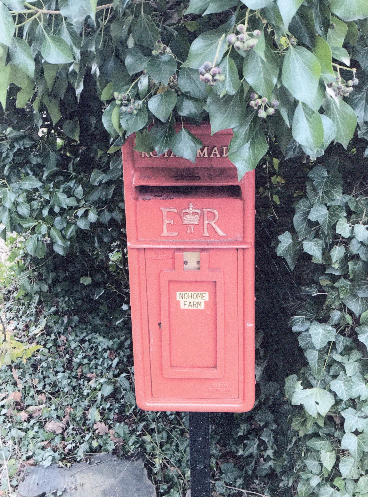
All the maps that he has seen of the area show the house as Nohome Farm. The house deeds however list the house as Noholme Cottages. The postal service connects the postcode to Nohome Farm. Was this a transcription error when registering the house at the land registry on the part of the Ordnance Survey and Postal Service?
The only occasion that I have seen a map showing Noholme instead of Nohome is Fred Elliot’s map of Walton in 1916, redrawn by Ray Strank showing the troop camps from Ebbisham Lane to Epsom Downs.

Stanley Wotton Epsom’s legendary jockey and Treadwell House racehorse trainer from 1915 until 1962 was the owner of Nohome Farm in 1959 and it was in that year in Sydney, Australia that he won the Australian Epsom Handicap race as an owner. His horse was very coincidently named ‘NOHOLME’ and not Nohome!
Robert Ruddell ©2021
Appendix
The webmaster thought you would like to see the following:
 Extract from the 1895 Ordnance Survey Map
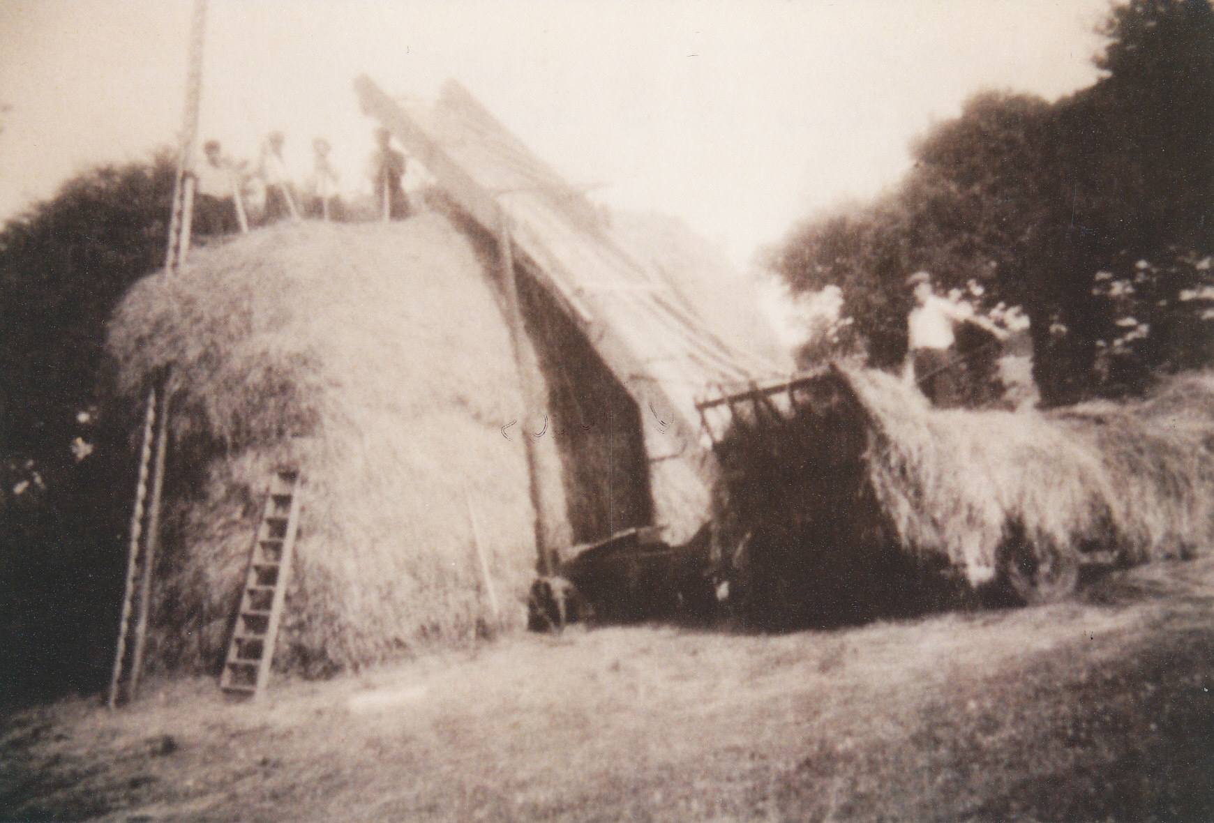
Some slightly fuzzy images held by Bourne Hall Museum. They are copies of part of the Langley Vale Millennium Display but the original owner is not now known.